
Hike to the Ripple Rock lookout.
- Where – North Island (Campbell River).
- When – All times of year.
- Why – View point of a historic event.
- How – hiking (Out & back trail, 4 km, 2.5 hours each way).
- Difficulty – Moderate (Uneven terrain, 179 elevation gain).
- Cost – walking is free.
Location / Directions
- From where the Inland Island Hwy (Hwy 19) and the Island Hwy (Hwy 19A) meet Head north on the North Island Hwy for 17 km
- Turn right into the Ripple Rock parking lot.
- Google map link: Google link: https://goo.gl/maps/bF5WRmamAPQT8qZX7
The Trail
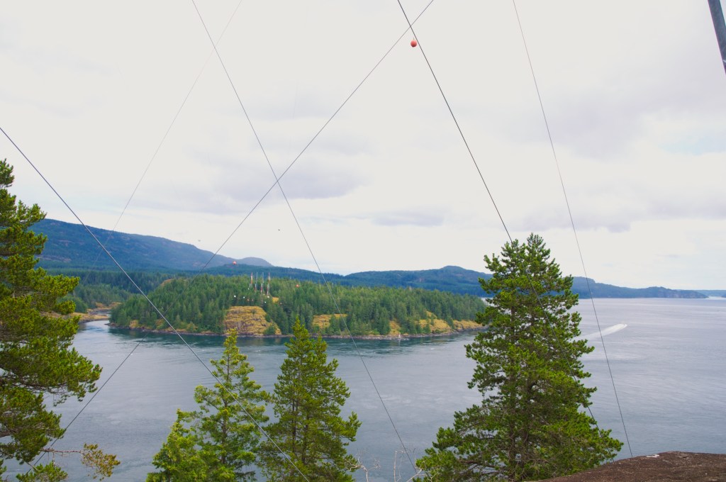
Photo by Mark Dobbs
Ripple Rock was an underwater mountain in Seymour Narrows just outside of Campbell River. At low tide the two peaks would lie just under the surface of the water, creating a marine hazard that had claimed over 110 lives. In 1955, a tunnel was drilled down, under, and into the peaks. In 1958, the tops were removed in the world’s biggest non-nuclear explosion and was a nationally televised event.
The trailhead is located at the north end of the parking lot and is marked by a signboard with a trail map and history of the 1958 event. From there, you’ll head east on an old service road that runs under a power line downhill for about 750 m until you find and cross an aluminum bridge.
After the bridge it levels out and becomes a narrow, single-track trail that even in the summer is still muddy with a few large puddles— this area can be closed in with prickly vegetation so watch yourself. Continue for 400 m to a lookout at the beach in Menzies Bay.
Form the beach lookout, the trail heads uphill into the forest— the hill itself is not super steep but is rocky and uneven. At around 500 m, there is another viewpoint at a rock bluff overlooking the bay. From there, the trail wanders through the woods close to the shoreline, there are a few more bridges over creeks and another lookout at the 2.6 km mark.
After the lookout, you’ll head inland for a ways, but will come out to a sandy beach at Nymphs Cove— the trail hugs the edge of the beach before heading back inland again for the last leg of the hike.
You’ll know you’re close to the end when you find a steep section with a rope assist, there are steps cut into the hillside so the rope isn’t a must but may be useful for some.
Continue on a bit further and when you spot a large set of stairs heading up the rock face, head up to the top of them.
At the top of the stairs, you’ll find exposed rock and the path. Head off to the left and wrap around the peak and over to the power lines. Find a spot around the base of the power lines and take in the view of the still very turbulent waters.
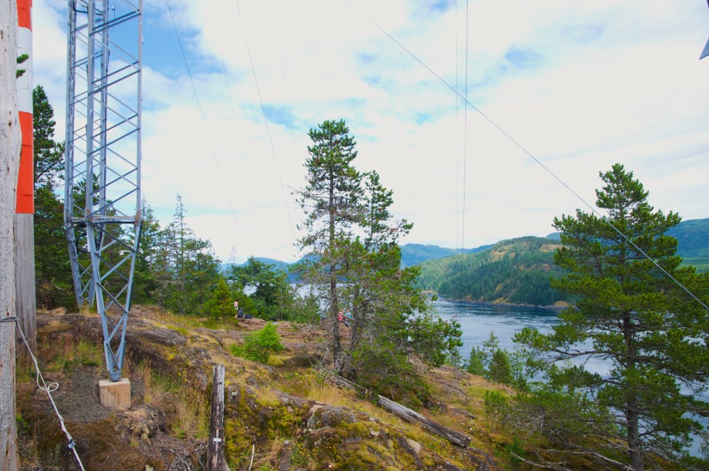
Photo By Mark Dobbs
Notes:
Gear taken: Backpack, water (1 L), snacks, med kit, hoodie, rain/wind barker, hiking chair.
Gear used: everything listed above.
Cell service: Yes.


I might check this hike out when I go here next year!
LikeLike